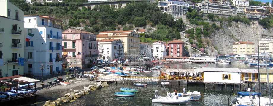
SORRENTO – Italy
I cannot claim Sorrento is a good place for a walking holiday, and the place is packed with tourists even fairly early in season. It is still fairly pretty, although for me the least interesting place on the peninsula, still good for eating if you are extremely selective in your choices. Some ok walks can be done straight out of town, otherwise use the good bus system (or stay somewhere else entirely).
Selected walks: For walks in the area, see “Landscapes of Sorrento, Amalfi and Capri” by Julian Tippett (referred to below as “/Tippett/”). Also make sure you have the free Sorrento walking map you can get at any tourist info point in town.
•1 SORRENTO – PANTANO – VILLA DI POLIO – PANTANO – MASSA LUBRENSE – SANTA MARIA – SANT’AGATA – SORRENTO (my total time 6h16; 852a 852d; net walking time 4h40): This walk consists of segments 47-48-50-54-53-52-56 in /Tippett/.
I also had a go at segment 49, but was met with a “No Pedestrians” sign! So I turned back from that one. I cut directly from segment 53 to 52 without entering Termini. This makes the walk a lot shorter. The “may be overgrown” part of Via Monte Arso was now even blocked by a land fill. You will have to use the main road here.
Other than that the walk went well, but the instructions in the book were at points very vague and distances given quite in the blue in my experience. So I was sure I was lost at several points. I just continued ahead when in doubt, and for once I was lucky.
BTW, the reported landslide (see Sunflower’s updates) on segment 56 was easy to navigate, but instead worry more about a possibly angry dog encountered on this segment.
•2 SORRENTO – COLLI DI FONTANELLE – SANT’AGATA – SORRENTO (my total time 3h14; 505a 512d; net walking time 2h48): This walk consists of segments 64-65-56 in /Tippett/.
Actually I have never seen segment 65, as the book turned impossible to follow. The last T-junction towards Colli di Fontanelle was not even visible so I just continued ahead. The correct route (see the excellent free walking map for Sorrento!) are one of two partly overgrown footpaths going into the woods. Finally I was deposited onto the main road, but with no idea of were I was and after wasting a lot of time trying to investigate I just had to continue on the road for several kilometers to Sant’Agata. Not nice. 🙁
See comments for segment 56 on the previous walk.
•3 SORRENTO – MASSA LUBRENSE – SANT’AGATA – SORRENTO (my total time 3h18; 570a 566d; net walking time 2h48): This walk consists of segments 51-55-56(alt.) in /Tippett/.
On segment 55 “a road is met at a T-junction”. I would say you do this TWICE, and go LEFT on the first road, then RIGHT on the second. This day I used the alternative descent in segment 56 (the no-landslide AND dog-less route…). This is a very quick and direct descent mainly along a staircase.
• Good starting points: • You are already there…
• How to get there: • By train (Circumvesuviana) • By bus • By ferry
• More info: • SITA S.p.A. has bus schedules for the area, but in Italian only • Sita Bus is an English language version of the bus schedules • Trenitalia.com has English language train information for the area, and you can also purchase tickets online • Unico Campania has information about all public transport in the Naples area • Curreri runs a Naples airport transfer service to/from Sorrento • Transport strikes in Italy should be checked for information about strikes in public transport
This page was last modified at March 5, 2026.
©2012-2026 .