Αγκίστρι – Argo-Saronic
Angistri is a very small and laid-back island close to Aegina (10 mins by hydrofoil), that at least out of high season is extremely peaceful. It is green and pleasant in every way. The island is crisscrossed by tracks that make some easy walks. In addition I was also able to find a few marked paths. Food and drink is generally excellent, establishments are not particularly up-market, but this is way more genuine.
Selected walks: For walks on Angistri just use Google Maps to navigate its tracks. Could not be easier…
•1 MEGALOCHORI – LIMENARIA (1:48; 10693 steps; 8.6km; alt. gain 230m; alt. loss 219m): From the outskirts of Megalochóri take the winding tracks over the hill(s) instead of continuing on the main road. This way Limenária is twice the distance… Make sure to have lunch at the taverna in this tiny village. See also walk 3 below.
On your way back you can just stroll the main road where there is actually little traffic except for the odd motorbike. The distance back is then 4.5km.
•2 MEGALOCHORI – METOCHI – SKALA (1:28; 8535 steps; 6.8km; alt. gain 199m; alt. loss 209m): Take the (upper) main road and stroll into Metóchi. From the upper part of this tiny village pick up an excellent track that rounds the hills and heads for the Skála road coming from the island’s landfill (ehem… my usual luck…) back into that village.
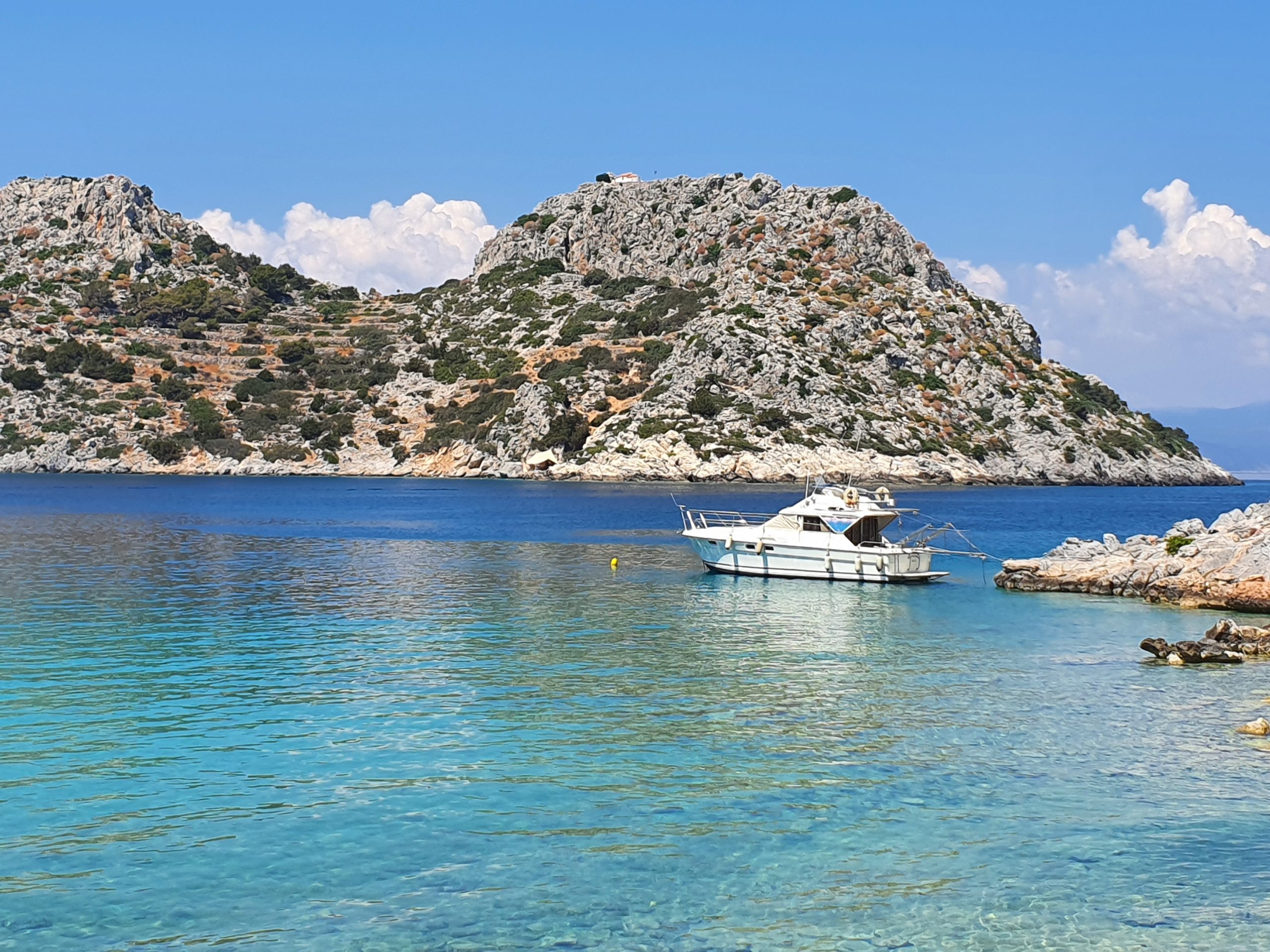
•3 MEGALOCHORI – DRAGONERA – LIMENARIA – APONISOS (2:04; 11757 steps; 9.4km; alt. gain 281m; alt. loss 301m): This variant uses the main road then picks up a track from Dragonéra beach towards Limenária. From Limenária stroll the road to Aponísos. There is a tiny café and a restaurant just before the islet. Entering the islet itself actually costs money! Could be an alternative for those wanting sunbeds and umbrellas…
Homebound again just strolling the main road is ok.
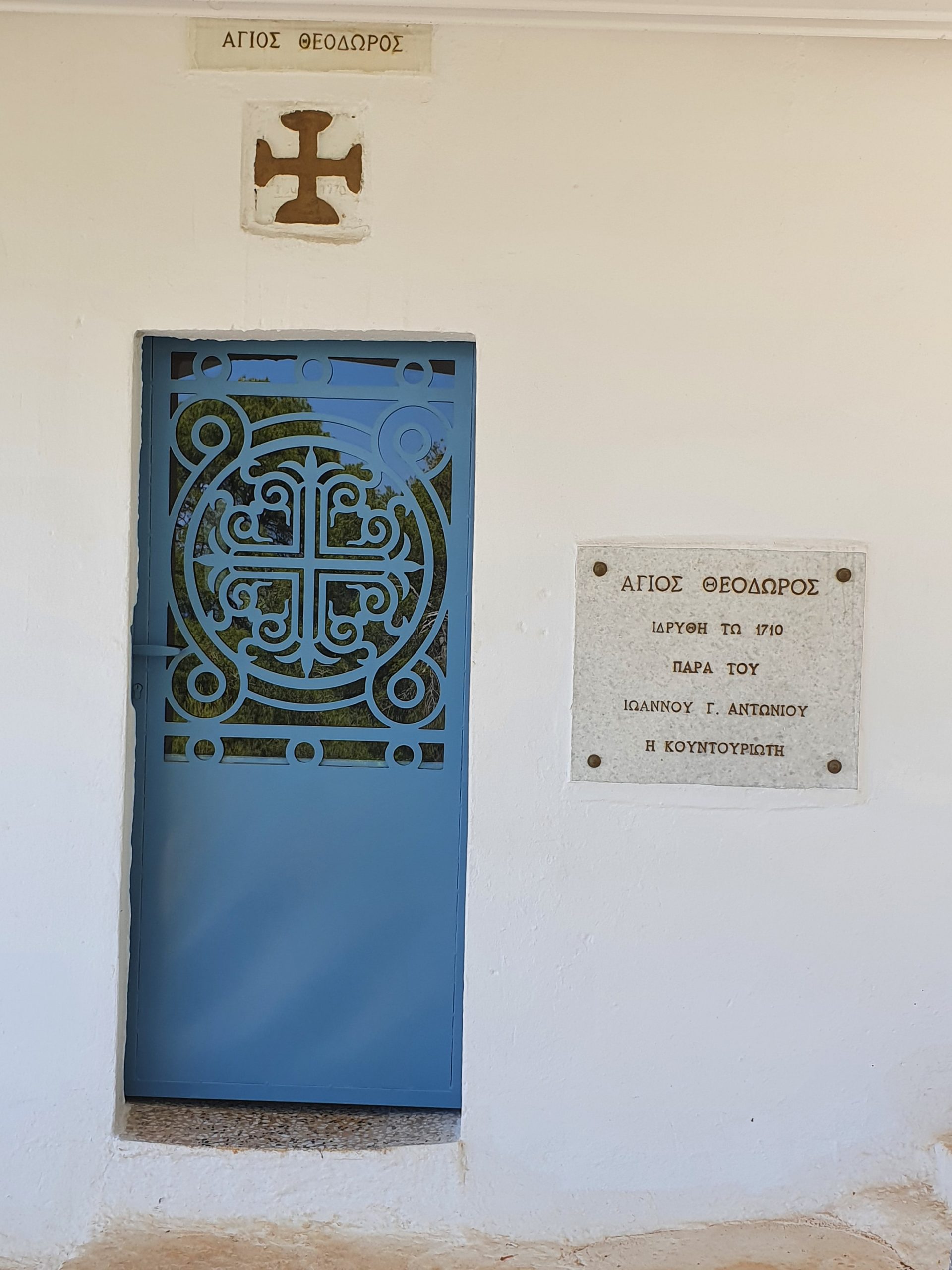
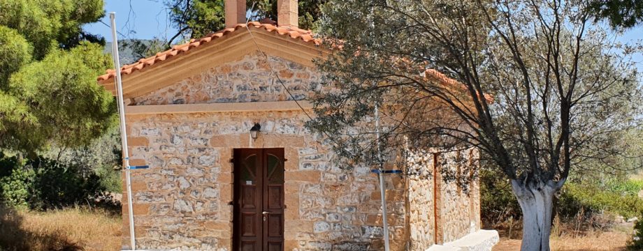
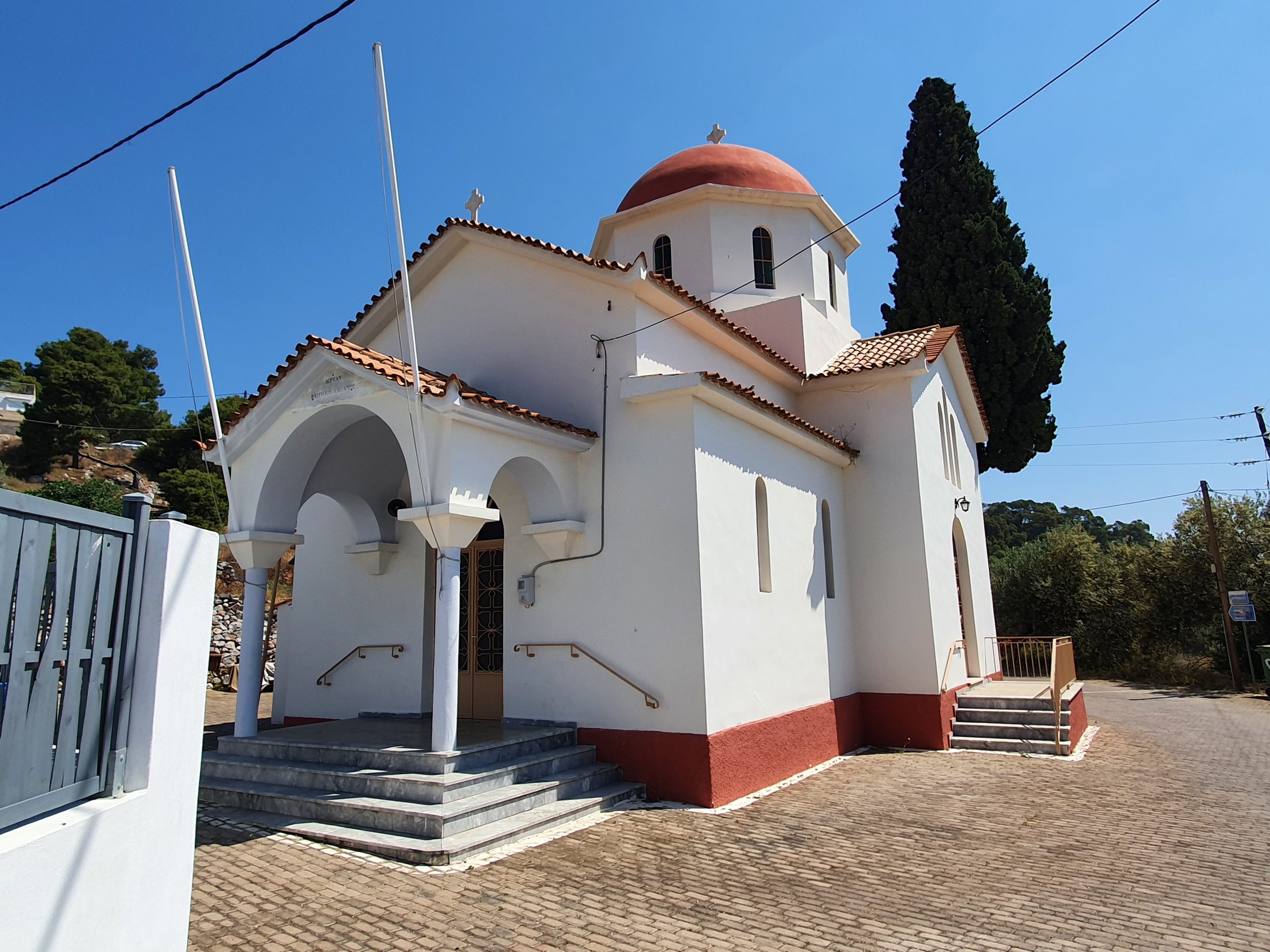
•4 MEGALOCHORI – AG. THEODOROS (0:43; 2267 steps; 1.8km; alt. gain 132m; alt. loss 67m): This walk actually covers two small chapels. The (marked) paths are too tiny to be added to Google Maps itself, but if you play Ingress, its variant of the map is more detailed and the necessary paths easily seen. From the upper part of Megalochóri a narrow footpath takes off straight out of town in the direction of the hills behind. Expect paint blobs and arrows. Initially between fields, another footpaths forks left at a prominent crossroads. But first continue (more paint blobs) straight ahead up a low hill to the first chapel then, coming back down, go right at the mentioned crossroads. This path rises gradually into woods and ends up at the Ag. Theodóros chapel.
Return the same way or continue ahead on a well marked (but not mapped) trail ending up at the (upper) main road on the outskirts of Metóchi.
• Good starting points: • Basically anywhere on the island
• How to get there: • Excellent ferry/hydrofoil connections from Piraeus’ Great Harbour
• More info: None yet
This page was last modified at February 17, 2026.
©2022-2026 .