NICE – Côte d’Azur (France)
The weather in Nice was not so nice on my visit, so many of the walks were held short. Also all plans of visiting some of the interior of the region were cancelled. Next time…
You could strand in worse places than Nice in a patch of bad weather though, food and wine were generally excellent, and not a single restaurant disappointed as a whole. What can I say? Make your own discoveries!
Selected walks: For walks around Nice take a look in “Landscapes of Eastern Provence” by John and Pat Underwood, referred to below as “/Underwood/”. You can also have a look in “Côte d’Azur” by Daniel Anker.
•1 CAP DU DRAMONT (my total time 3h21, includes time for photography and a huge seafood lunch; 324a 342d; net walking time 1h33): This is Walk 7 in /Underwood/. A great little walk that can be ended on the beach at Plage de Camp Long. After having superb seafood at the Tiki Plage restaurant you can stroll back to your starting point or, as I did, continue on the roadside promenade towards Agay (timing not included).
A couple of small points of notice. Near the start the “petrol station” was missing. After finishing the two peaks you are supposed to walk back to the coastline were you came from (the circuit path), not continue further on. There is a shortcut path though, albeit steep.
•2 CAP MARTIN (my total time 1h58, includes short stops only; 217a 242d; net walking time 1h35): This is Walk 10 in /Underwood/. Nice peaceful walk on a very rainy day. It was interesting to see Monaco for once all shrouded in clouds and fog.
•3 CAP FERRAT (my total time 1h21, includes short stops only; 128a 136d; net walking time 1h07): This is Short Walk 4 in /Underwood/. Still raining a bit and this was a very nice short walk. Technically still closed by the Police after the really bad weather the day before, “luckily” I did not notice any such signs when entering from the beach, only when I “popped” out the other end. Also could see no potential danger, the sea was completely calm. I actually tried to continue the full walk and investigated further (timing included), but the path was heavily blocked after “Les Fosses”. The Police take no chances here as too many people have been swept to sea on these paths.
After finishing the walk, by all means stroll the very nice promenade towards Beaulieu (timing not included).
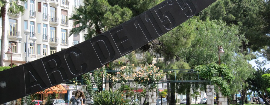
•4 NICE CITY WALK (my total time 2h59, includes time for photography and admiring the views etc; 305a 455d; net walking time 2h12): This is Walk 1 in /Underwood/. Gray but hardly raining on my visit, suberb views even then, the clouds just creating a bit more drama to the situation. Saw no reason to linger much on Colline du Château. Taking in the view and having a cup of cofee was sufficient.
From the start of the walk (facing the board) you will have to go right (slightly) to go left.
The end of the walk was not possible as on the map because the street was blocked by a huge gate. Instead you will now have to stroll down directly into the old town from the museum area. Very nice anyway. And another great lunch in sight.
•5 ESTEREL RIDGE WALK (my total time 3h43, includes time for photography and short stops for drinking and resting; 706a 730d; net walking time 3h02): This is part of Alternative Walk 5 in /Underwood/, but with access to the GR51 as in Walk 6. Fantastic views on this walk! After some fairly gray days (to say the least) is was great to have a break of (at least initially) clear skies. And what a place to spend a few hours on such a day. I suggest you skip the walks in the book and go directly for the main dish.
From the start at the Théoule train station cross the road and just stroll directly to town along the sidewalk. Disregard all instructions in the book and stroll PAST the town still along the main road, following the roadside promenade. When the main road swings hard left in a hairpin curve take the street on the right. Follow that street to its hairpin where you find the trailhead to GR51.
Follow the GR51 (map tracing not entirely correct) straight towards Col de la Cadière and up to Sommet des Grosses Grues.
Follow the ridge still on the GR51 climbing three more (successily smaller) hills to Col Notre-Dame.
At Col Notre-Dame leave the GR51 and turn left on a track. Follow it back towards your starting point and when you again hit the GR51 where you came up, just follow it back down again.
This walk is at points extremely steep, but not dangerous, just beware that top mountain boots are a strict requirement! And please do not try to beat my walking time…
•6 NICE PROMENADE (my total time 2h31, includes time for photography; 81a 93d): Anyone visiting Nice will of course stroll at least parts of the seaside promenade. Although infested with joggers, bikers and skaters that think they in particular own the place it is still worth doing. Start at the flower market, cross the boulevard and head west. After a small walk in the park when you reach the end you can take the bus back or do as I did, just stroll back to the old town for yet another great lunch.
• Good starting points: • Staying close to the train or bus stations is perfect
• How to get there: • By air
• More info: • Lignes d’Azur is the transport network for the Nice Côte d’Azur urban community • Office du Tourisme et des Congrès is the Nice Tourist and Conventions Office official website
This page was last modified at March 4, 2026.
©2010-2026 .