Κάρπαθος – Dodecanese
Karphatos is an very mountainous island south of Rhodes. As Greek islands go there is really nothing quite like this one. The landscape is absolutely spectacular and the walks can obviously be likewise. I have however concentrated on the easier ones.
Eating is generally a delight, both in Karpathos Town (Pigadia) and Diafani where I had my lunches and dinners on my first trip. In Kato Lefkos on my second trip all the restaurants that was open in late may was quite good. If I have to mention just one is must be the “House of Gyros”. Do not get fooled by the name, this place has everything, including excellent fresh fish.
Selected walks: All my walks are based on walks found in “Rhodes Karpathos Kos Southern Dodecanese” by Dieter Graf (referred to below as /Graf/) or the “Anavasi mapp” on my phone (referred to below as /Anavasi/).
•1 PIGADIA – AGIOS NIKOLAOS – PIGADIA (my total time 2h10): As seen in /Anavasi/.
You have several options and it makes sense to choose a different route on your way back, for variety. It is pleasant in the morning to stroll along the beach which is empty at this time. It is heavy walking in sand though. On the return you may choose simply the street that eventually turns into a seaside promenade about half way, or a path behind the beach that exists for at least some parts of the walk.
From Ag. Nikolaos the walk can be extended to either Profitis Ilias and Aperi (“Emmanouel M. Panagiotou´s Trail”) or to Achata (“George Zarari´s Trail”).
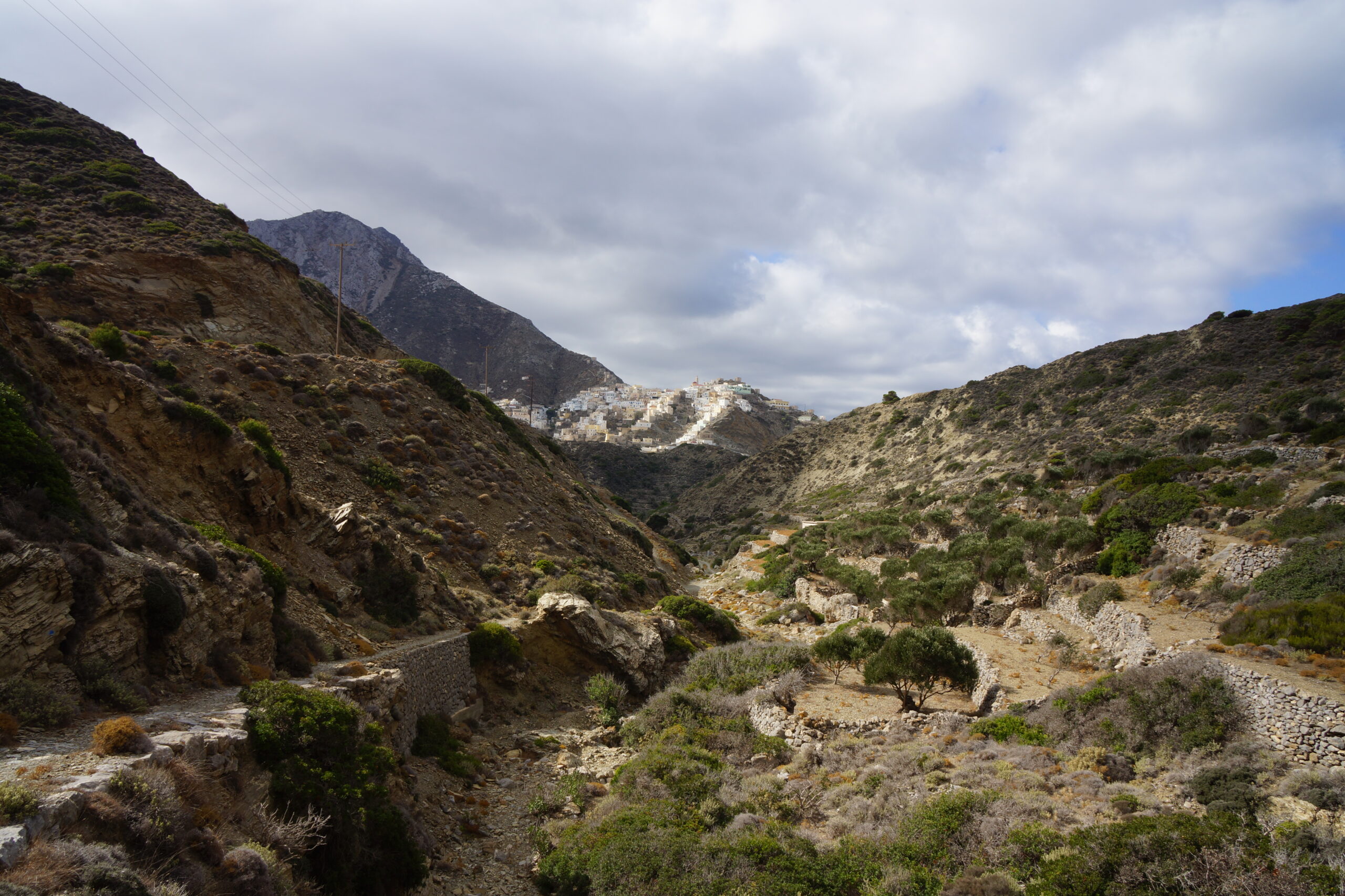
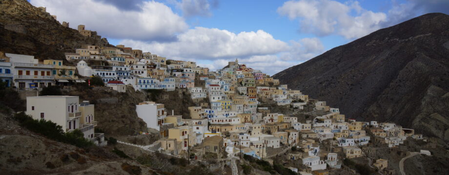
•2 OLIMBOS – DIAFANI (my total time 2h20): This is walk 20 in /Graf/.
An absolutely wonderful and fairly dramatic walk that has my warmest recommendations. It is not difficult and the most exposed parts down in the valley/canyon have very secure railings.
The initial parts from Olimbos feels like just transport to get up to the next saddle and down into the valley towards Diafani. You may choose the fastest and simplest route here, I personally took no heed to neither /Graf/ nor /Anavasi/ at this point as the route looked strenuous.
When strolling through Olimbos from the bus stop you also do not need to go as far as the windmills, if you do not absolutely want to. Better veer right at the central church down stairs toward the gravel road below and turn right. For an easy ride, just follow this winding road which eventually turns into asphalt and move into a small valley left when an obvious and easy path carry you more or less straight ahead in the wanted direction until you eventually end up at the main road. From here you can follow the map or the book.
And by the way, Diafani is an absolute delight. Olimbos is indeed picturesque but feels more like a movie set. And bring warm clothes as it can be very windy up in the mountains and there are often clouds so the sun won´t help you much either.
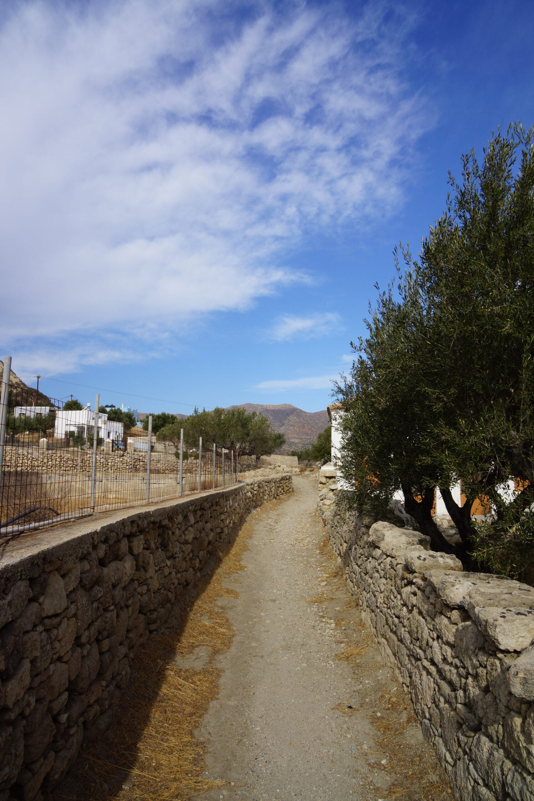
•3 PIGADIA – AGIA KIRIAKI – PIGADIA (my total time 2h10): As seen in /Anavasi/. A fairly nice and easy stroll.
Just use the “mapp” initially following what is marked as bicycle route 1 rounding the hill with the antennas on top in a clockwise fashion. Then just pick the easiest dirt track directly back down to the upper parts of town. I did not investigate any routes marked as “path”.
•4 PIGADIA BACKCOUNTRY (my total time 2h30): As seen in /Anavasi/. A very nice stroll but with some unexpected complications. At least half an hour of my total walking time became just wasted “investigation”.
The idea was to follow the “path” marked on the “mapp” straight out of town in direction of the dam. Eventually the route was blocked by a new animal pen or similar. Sidetracking a bit and then going left through an olive grove brought me to an asphalt road marked with walking route 3. Lots of digging and machine tracks in this olive grove so there is no way of knowing if you can cross here in the future. Might as well use the official walking route 3 from the start. Going left with route 3 will eventually bring you to the main road towards the airport.
I took left on the main road and went as far as the dam, a fairly impressive sight (here you also encounter the other side of the blocked footpath) then backtracked and entered a side road left hoping to connect with another part of bicycle route 1 (see also my walk 3 above). However the entrance to this former dirt track was blocked by a newly built house and completely fenced in. I had to backtrack way further down the main road (even past where I originally entered it). The first side road left here and up the valley turned out to be a good alternative approach to the bicycle route, and then you can just stroll along that narrow dirt road for as long for as you want. There are multiple options. Personally I took the first path right down into the next valley. This was a short and fun route down beside a small creek, and you end up where the seaside promenade to Pigadia starts.
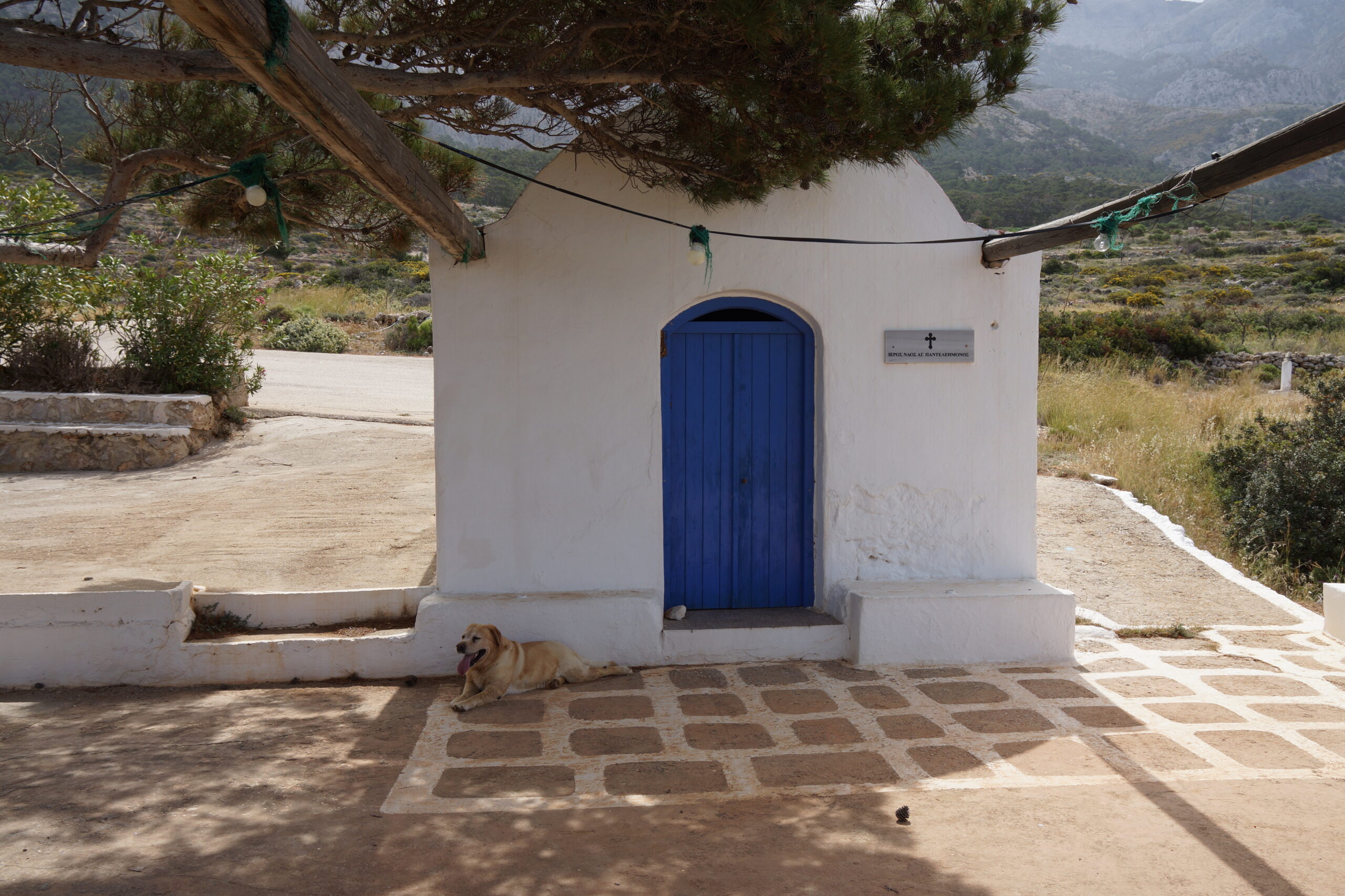
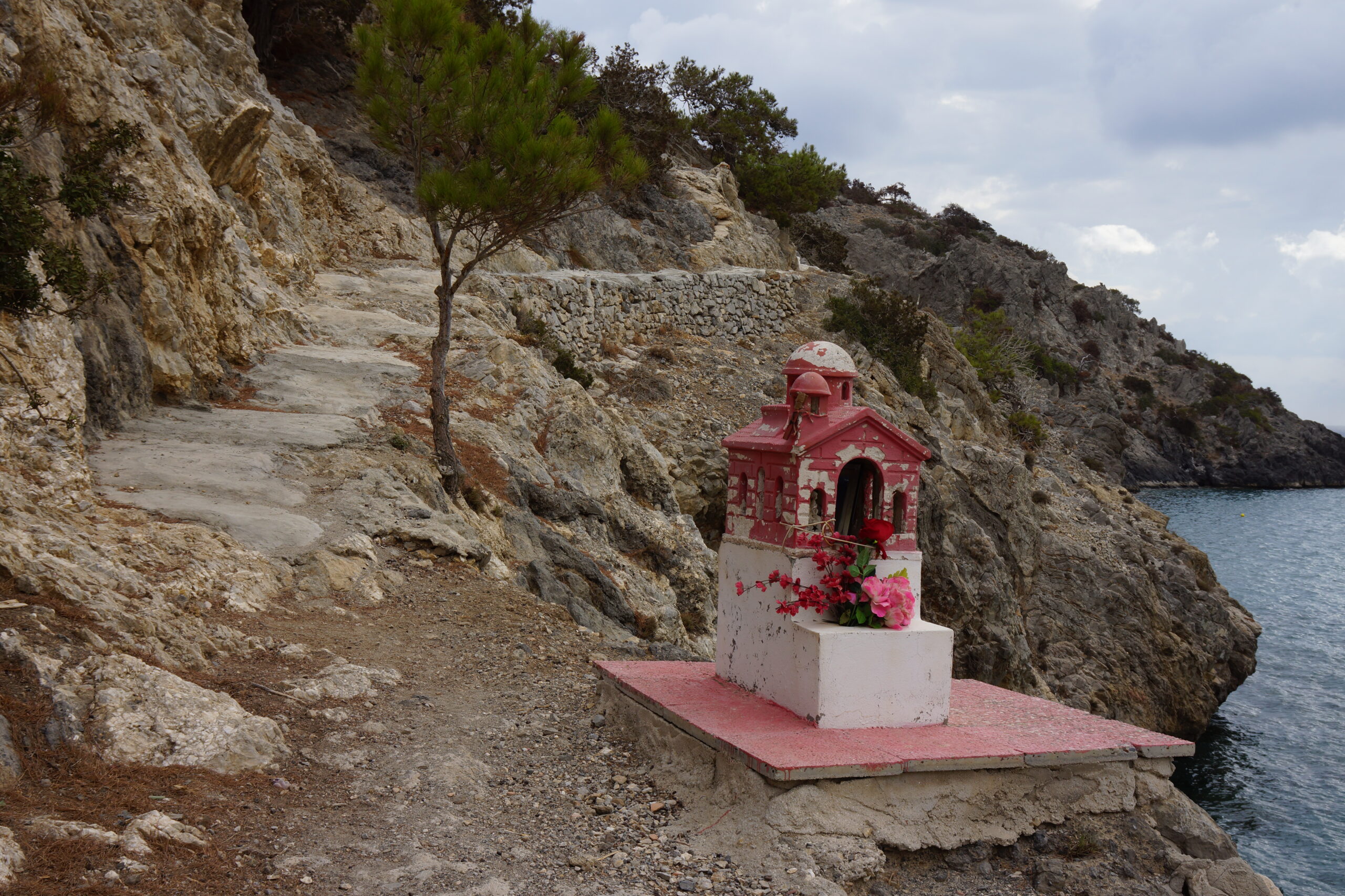
•5 KATO LEFKOS – ROMAN CISTERN – AG. PANTELEIMON – LEFKOS – KATO LEFKOS (my total time 2h45): This is parts of walk 14 in /Graf/, but in reverse.
No complications, just follow a good map, e.g /Anavasi/. My “walking companion” for parts of this walk can also be seen in the picture above…
•6 AROUND THE PELEKITO HILL (my total time 2h30): As seen in /Anavasi/. A very nice stroll.
Just follow the coast as long as possible north of Kato Lefkos, then curve around the hill to your right. No problems at all, and you can basically use any road or path on the map on your return.
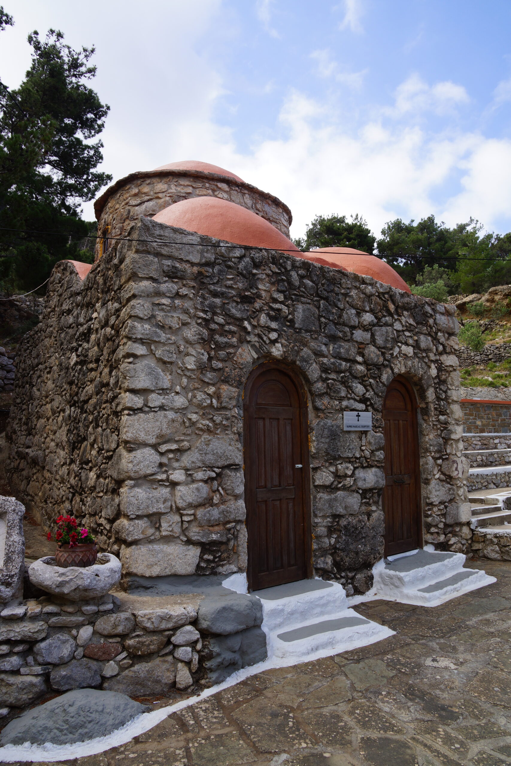
•7 KATO LEFKOS – AG. GEORGIOS – KATO LEFKOS (my total time 2h15): As seen in /Anavasi/. Another very nice stroll.
Just use any dirt road you have not yet used around the Pelekito Hill and walk towards the upper Lefkos. The chapel is signposted. If you are not visiting in high season you can just use the main road back, there is very little traffic.
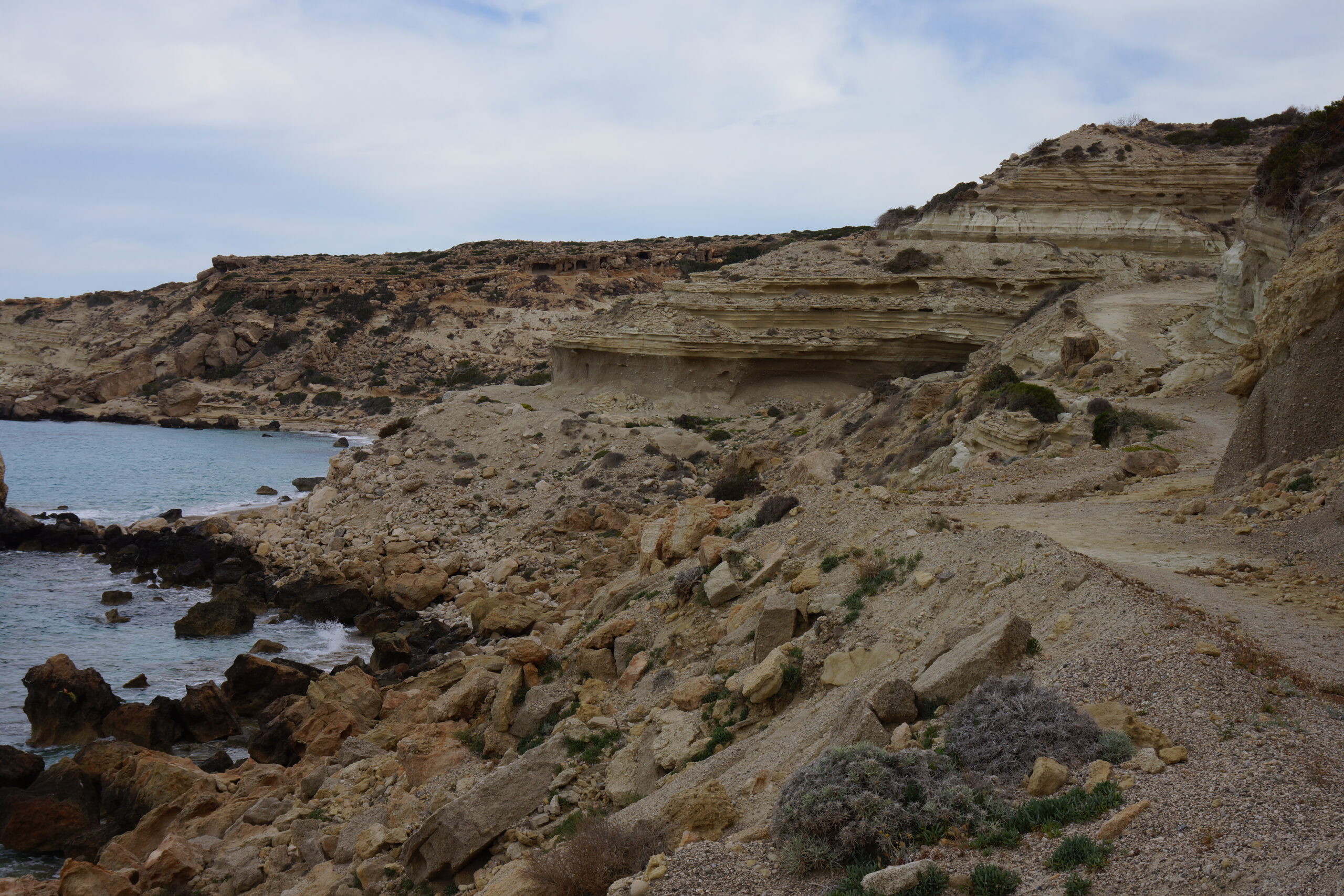
•8 EXPLORING THE POTALI AREA AND THE VALLEY BEHIND (my total time 2h30): The dirt road up the valley can be seen in /Anavasi/. The initial part and the exploration of locals stone walls and agriculture in not on any map I know of.
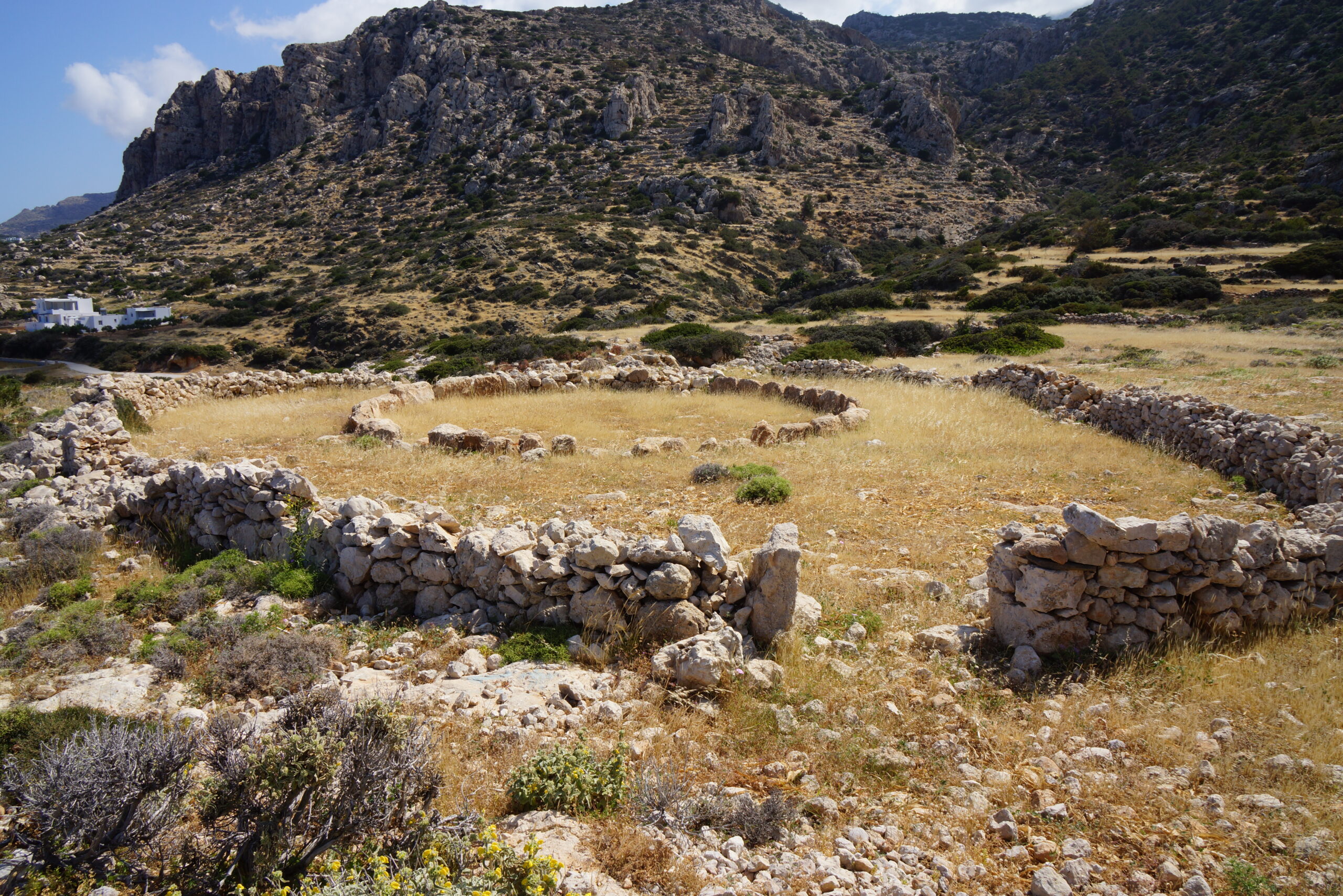
From Kato Lefkos follow the main road south/southeast and take the first narrow asphalt road down to the right. This goes to a small jetty. From here a narrow path goes behind the beach, and eventually you are better off just walking the beach. Follow the beach to its southern point where another narrow path will take you up to a small chapel and then a road (on your left). Follow this road to the right. The road continues as a path. This path will take you to an ancient field, veer right to see a (double) stone circle probably used as a threshing floor. Continuing past some derelict buildings on the narrowest of paths you reach the opposite end of the field. From here you can continue on a very stony, sometimes almost nonexistent, path. Continue out on the headland for as long as you want to see more stone walls and strange rock formations. When you are satisfied, just return the same way to the road and follow it as far as you can up the valley behind the beach. When this narrow asphalt road turns left, continue on a dirt road on the right. Eventually you will cross the river bed and get back to the main road, where you turn left. Follow the road or your favorite diversion back to Kato Lefkos.
• Good starting points: • Pigadia – several walks start from there, it also has the central bus station • Kato Pefkos – some nice walks and strolls are possible from there
• How to get there: • By ferry some Dodecanese islands • By air
• More info: Sorry, none yet
This page was last modified at May 27, 2026.
©2025-2026 .